Park nearby Szamoskóródi Kert
Romania
Park nearby Szamoskóródi Kert
Szamoskóródi Kert
Corod Rumunia
contacts phone
:
+40
Latitude:
47.7618055
, Longitude:
22.9999952
read more
nearest Park
4.531 km
Parcul Culciu Mare
Culciu Mare
Park
read more
8.229 km
Parc UFO
Satu Mare
Park
read more
8.702 km
Batizi Emlékmü
Strada Sirul Mare 18, Botiz
Park
read more
8.999 km
Parcul Soarelui
Satu Mare
Park
read more
9.477 km
Parcul George Boitor
Satu Mare
Park
read more
9.789 km
Piaţa George Cǎlinescu
Satu Mare
Park
read more
9.808 km
Parc
Strada Gheorghe Doja, Satu Mare
Park
read more
9.851 km
Parcul Cloșca
Bulevardul Cloșca 46, Satu Mare
Park
read more
9.934 km
Parcul Sfânta Elisabeta
Satu Mare
Park
read more
9.968 km
Parcul Central Satu Mare
Strada Hám János 2, Satu Mare
Park
read more
9.968 km
Satu Mare Central Park
Strada Hám János 2, Satu Mare
Park
read more
10.014 km
Piata 25 Octombrie
Satu Mare
Park
read more
10.029 km
Parc Cloşca 72-74
Bulevardul Cloșca 74A, Satu Mare
Park
read more
10.029 km
Cloşca Park 72-74
Bulevardul Cloșca 74A, Satu Mare
Park
read more
10.806 km
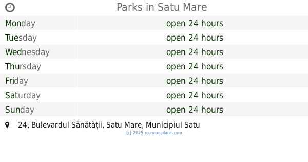
Parks
Bulevardul Sănătății 24, Satu Mare
Park
read more
10.806 km
Parc
Bulevardul Sănătății 24, Satu Mare
Park
read more
10.907 km
Piața Nicolae Titulescu
Satu Mare
Park
read more
11.154 km
Parc Brândușa
Strada Brândușa 23, Satu Mare
Park
read more
13.602 km
Parc Lazuri
Strada Principală, Lazuri
Park
read more
24.98 km
Csenger Coimbra Garden
Csenger, Béke utca 11
Park
read more
26.383 km
Árvízi emlékpark
Csenger
Park
read more
27.865 km
Csegöldi focipálya
Csegöld
Park
read more
43.313 km
Parc Gara
Baia Mare
Park
read more
44.971 km
Piața Millennium
Piața Libertății, Baia Mare
Park
read more
45.056 km
Piața Cetății
Baia Mare
Park
read more
📑
all categories
Accounting
Administrative area level 1
Administrative area level 2
Airport
Amusement park
Aquarium
Art gallery
Atm
Bakery
Bank
Bar
Beauty salon
Bicycle store
Book store
Bowling alley
Bus station
Cafe
Campground
Car dealer
Car rental
Car repair
Car wash
Casino
Cemetery
Church
City hall
Clothing store
Colloquial area
Convenience store
Country
Courthouse
Dentist
Department store
Doctor
Electrician
Electronics store
Embassy
Finance
Fire station
Florist
Food
Funeral home
Furniture store
Gas station
General contractor
Grocery or supermarket
Gym
Hair care
Hardware store
Health
Home goods store
Hospital
Insurance agency
Jewelry store
Laundry
Lawyer
Library
Light rail station
Liquor store
Local government office
Locality
Locksmith
Lodging
Meal delivery
Meal takeaway
Mosque
Movie rental
Movie theater
Moving company
Museum
Natural feature
Neighborhood
Night club
Painter
Park
Parking
Pet store
Pharmacy
Physiotherapist
Place of worship
Plumber
Point of interest
Police
Political
Post office
Premise
Real estate agency
Restaurant
Roofing contractor
Route
Rv park, camping
School
Shoe store
Shopping mall
Spa
Stadium
Storage
Store
Subpremise
Subway station
Supermarket
Synagogue
Taxi stand
Train station
Transit station
Travel agency
University
Veterinary care
Zoo
administrative area level 3
sublocality level 1
sublocality level 2
↑