Park nearby Parcul Ottoi Călin
Coronavirus disease (COVID-19) Situation
confirmed cases
3529735
deaths
68929
Romania
Park nearby Parcul Ottoi Călin
Parcul Ottoi Călin
Strada Ottoi Călin, București, Municipiul București, RO Rumanía
contacts phone
:
+40
Latitude:
44.4382542
, Longitude:
26.1461787
larger map & directions
read more
nearest Park
99 m
Parc Calin Ottoi
Strada Ottoi Călin, București
Park
read more
415 m
Parcul Nichita Stănescu
Sektor 2
Park
read more
415 m
Parcul Nichita Stănescu
Sector 2
Park
read more
438 m
Parcul Ciurea
Sector 2
Park
read more
446 m
Parcul national
București
Park
read more
446 m
Parcul national
Bucharest
Park
read more
606 m
La Lalele
Șoseaua Iancului 130, București
Park
read more
615 m
Parcul Grădina Engleză
Sektor 2
Park
read more
615 m
Parcul Grădina Engleză
Sector 2
Park
read more
751 m
Parcul Hobita
Sector 2
Park
read more
827 m
Parcul Gheorghe Petrașcu
Titan, București
Park
read more
827 m
Parcul Gheorghe Petrașcu
Titan, Bucharest
Park
read more
1.001 km
Parc
Sector 2
Park
read more
1.177 km
Titus Ozon
Strada Căminului 28, București
Park
read more
1.181 km
Parcul Delfinului
Aleea Dobrina, București
Park
read more
1.201 km
Parcul Titus Ozon
Sector 2
Park
read more
1.303 km
Parcul Ostrov
Sector 2
Park
read more
1.32 km
Parc Topoganul de ciment
Sector 3
Park
read more
1.336 km
Parc public
Aleea Budacu, București
Park
read more
1.555 km
Rosarium
Strada Câmpia Libertății, București
Park
read more
1.735 km
Rasaduri De Legume
Strada Chiristigiilor 34, București
Park
read more
1.868 km
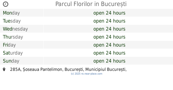
Parcul Florilor
Șoseaua Pantelimon 285A, București
Park
read more
1.895 km
Parcul Obor
Strada Chiristigiilor 2, București
Park
read more
1.952 km
Parcul Morarilor
Lacul Morarilor, București
Park
read more
2.056 km
Insula Artelor
Sektor 3
Park
read more
📑
all categories
Accounting
Administrative area level 1
Administrative area level 2
Airport
Amusement park
Aquarium
Art gallery
Atm
Bakery
Bank
Bar
Beauty salon
Bicycle store
Book store
Bowling alley
Bus station
Cafe
Campground
Car dealer
Car rental
Car repair
Car wash
Casino
Cemetery
Church
City hall
Clothing store
Colloquial area
Convenience store
Country
Courthouse
Dentist
Department store
Doctor
Electrician
Electronics store
Embassy
Finance
Fire station
Florist
Food
Funeral home
Furniture store
Gas station
General contractor
Grocery or supermarket
Gym
Hair care
Hardware store
Health
Home goods store
Hospital
Insurance agency
Jewelry store
Laundry
Lawyer
Library
Light rail station
Liquor store
Local government office
Locality
Locksmith
Lodging
Meal delivery
Meal takeaway
Mosque
Movie rental
Movie theater
Moving company
Museum
Natural feature
Neighborhood
Night club
Painter
Park
Parking
Pet store
Pharmacy
Physiotherapist
Place of worship
Plumber
Point of interest
Police
Political
Post office
Premise
Real estate agency
Restaurant
Roofing contractor
Route
Rv park, camping
School
Shoe store
Shopping mall
Spa
Stadium
Storage
Store
Subpremise
Subway station
Supermarket
Synagogue
Taxi stand
Train station
Transit station
Travel agency
University
Veterinary care
Zoo
administrative area level 3
sublocality level 1
sublocality level 2
↑