Grocery or supermarket nearby Piaţa Agroalimentară (Piața Centrală)
Romania
Grocery or supermarket nearby Piaţa Agroalimentară (Piața Centrală)
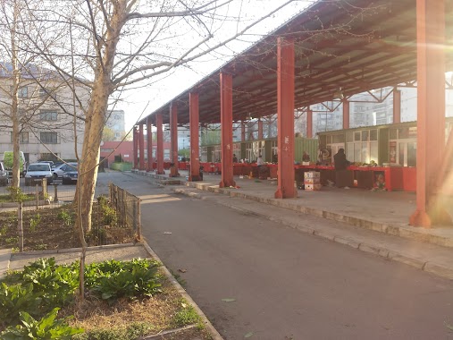
Piaţa Agroalimentară (Piața Centrală)
Strada Libertății, Alexandria, Municipiul Alexandria, RO Rumunia
contacts phone
:
+40
Latitude:
43.9667735
, Longitude:
25.3348287
larger map & directions
read more
nearest Grocery or supermarket
37 m
Romcip Salcia Alexandria
Alexandria
Grocery or supermarket
read more
341 m
BioBoom - magazin produse BIO
Strada Libertății 304, Alexandria
Grocery or supermarket
read more
1.175 km
Curteanu Ionel ii
Strada Alexandru Ghica 58c, Alexandria
Grocery or supermarket
read more
1.862 km
Supermarket Nord
Strada Stâncă 45, Alexandria
Grocery or supermarket
read more
1.993 km
Piaţa Peco
Strada Negru Vodă, Alexandria
Grocery or supermarket
read more
2.786 km
Mirteca Market
Nanov
Grocery or supermarket
read more
50.395 km
Piata Policlinica
Șoseaua Alexandriei 8, Giurgiu
Grocery or supermarket
read more
50.904 km
Магазин "Гришата"
ulitsa "Pirot" 242, Ruse
Grocery or supermarket
read more
51.208 km
Американското пазарче
Ruse
Grocery or supermarket
read more
51.355 km
Bio Shop - Organic Grocery - Ruse
ulitsa "Aleko Konstantinov" 1, Ruse
Grocery or supermarket
read more
51.418 km
Супермаркет ”CBA”
Ruse
Grocery or supermarket
read more
51.603 km
Zoomarket
ulitsa "Vidin" 22, Ruse
Grocery or supermarket
read more
51.685 km
Thiklon
Ruse, Drujba 2, ul. 24-ti may 9
Grocery or supermarket
read more
51.838 km
TONEL MARKET
ulitsa "Panayot Hitov" 62, Ruse
Grocery or supermarket
read more
66.67 km
Sc Kami
Şoseaua Independenţei, Domnești
Grocery or supermarket
read more
66.964 km
Market Bucegi
Strada Cartierul Nou, Domnești
Grocery or supermarket
read more
69.398 km
Cojo Shop
Domneștii de Jos, Domnești
Grocery or supermarket
read more
📑
all categories
Accounting
Administrative area level 1
Administrative area level 2
Airport
Amusement park
Aquarium
Art gallery
Atm
Bakery
Bank
Bar
Beauty salon
Bicycle store
Book store
Bowling alley
Bus station
Cafe
Campground
Car dealer
Car rental
Car repair
Car wash
Casino
Cemetery
Church
City hall
Clothing store
Colloquial area
Convenience store
Country
Courthouse
Dentist
Department store
Doctor
Electrician
Electronics store
Embassy
Finance
Fire station
Florist
Food
Funeral home
Furniture store
Gas station
General contractor
Grocery or supermarket
Gym
Hair care
Hardware store
Health
Home goods store
Hospital
Insurance agency
Jewelry store
Laundry
Lawyer
Library
Light rail station
Liquor store
Local government office
Locality
Locksmith
Lodging
Meal delivery
Meal takeaway
Mosque
Movie rental
Movie theater
Moving company
Museum
Natural feature
Neighborhood
Night club
Painter
Park
Parking
Pet store
Pharmacy
Physiotherapist
Place of worship
Plumber
Point of interest
Police
Political
Post office
Premise
Real estate agency
Restaurant
Roofing contractor
Route
Rv park, camping
School
Shoe store
Shopping mall
Spa
Stadium
Storage
Store
Subpremise
Subway station
Supermarket
Synagogue
Taxi stand
Train station
Transit station
Travel agency
University
Veterinary care
Zoo
administrative area level 3
sublocality level 1
sublocality level 2
↑